Follow the central Hawes line from John and Ann’s parish connection, through William’s choir-school household and William Henry’s Strand addresses, to William Edward, Walter and Eric in south London.
Family addressParish connectionCensus-night visitDashed lines connect stages across generations
The line connects recorded places in sequence; it is not a travel route or proof of a direct move between each address. Markers show neighbourhoods or postcode areas unless otherwise stated. Select a numbered stage below to explore it.
Start of the story
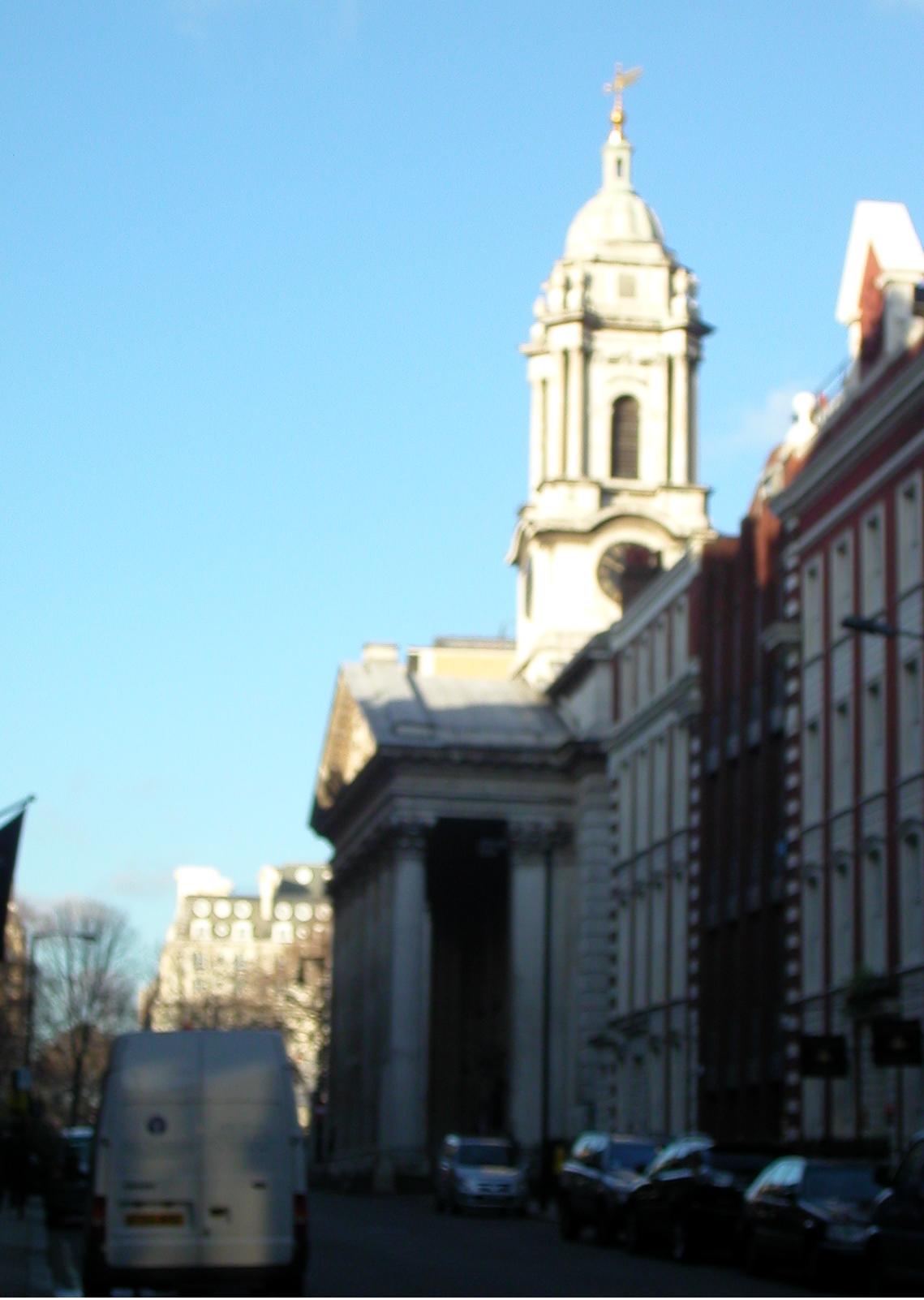
St George’s, Hanover Square
William’s birth and baptism record connects John and Ann Hawes to this parish in 1785. The family’s home address is not yet known.
Choose a place to see its location, the people connected with it and the surviving evidence. Addresses that cannot yet be securely located remain in the collection below without a map pin.
Recorded in 1921 & 1939
46 Gipsy Hill
Walter, Nellie and their children appear at this address in the 1921 census. Eric appears here again in the 1939 Register.
Postcode-area location; the exact historical doorway has not been surveyed.
William’s birth and baptism extract names John and Ann Hawes. William and Elizabeth married here on 12 March 1805. The records connect the family to the parish but give no home address.
Church location; the family’s street address is unknown.
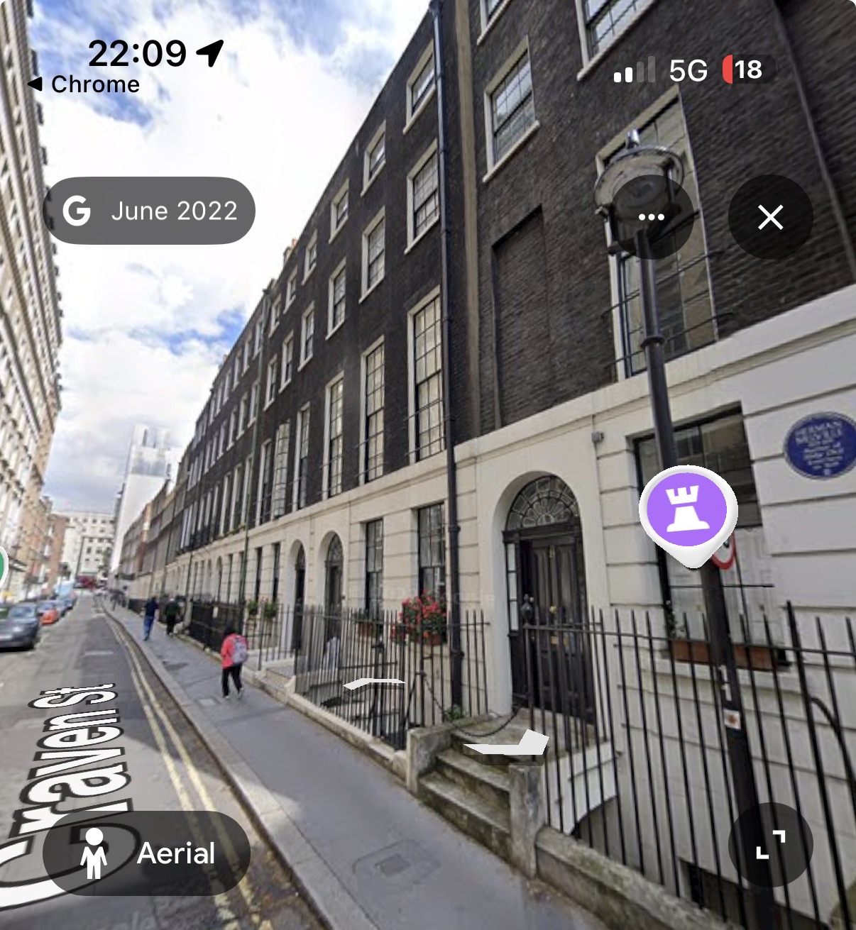
Craven Street · modern Google Street View screenshot, imagery dated June 2022, supplied by Antony Greenfield. This street view does not independently identify the historical No. 27.
Choir-school archival descriptions place William’s household and the St Paul’s Cathedral choristers at 27 Craven Street from about 1812, before the move to Adelphi Terrace in 1817.
Approximate street location; historic doorway not verified.
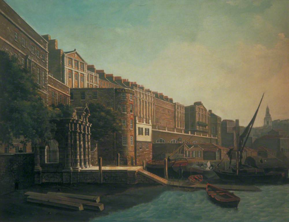
The family home also housed St Paul’s and Chapel Royal choristers. The 1841 household transcript places William, Elizabeth and younger family members here. The original riverfront terrace was demolished in the 1930s; today’s buildings are not the Hawes house.
Approximate former terrace area; no claim to an exact surviving plot.
Family birth abstracts record William Edward’s birth here on 22 June 1844 and Elizabeth Louisa’s on 19 February 1846. A medical-directory entry also records the address. This is the West Strand street now called William IV Street, rather than King William Street in the City.
Approximate modern street location; historical No. 12 not pinned.
The family abstracts give this address for Richard’s birth on 19 February 1848 and death on 6 October 1849. The precise street identification requires checking against the original certificates.
Not pinned: the street identification is unresolved.
Mary Emma’s family birth abstract records her birth here on 7 November 1850. Historical numbering and the individual property still need to be matched to a period map.
Approximate central Strand area; not a verified building pin.
An 1852 directory lists William H. B. Hawes as a surgeon at 406 Strand. Caroline’s birth abstract gives the same address on 16 August 1853. The map places the Strand neighbourhood; it does not establish a surviving surgery building.
Approximate Strand area; historical frontage not verified.
Family records give this address for Elizabeth’s death on 3 May 1871. An original death record is still needed before treating it as a confirmed residence.
Family records associate Walter’s birth around 1879 and Eric’s birth on 14 February 1909 with 1 Parchmore Road. The original birth records and historic numbering remain to be checked. The 1881 census reference separately places William Edward’s family in the Thornton Heath area.
Street-area marker; No. 1 has not been verified on a historical map.
Family-held death abstracts place Mary Emma here on 8 December 1893 and Sophia here on 9 February 1895. The modern equivalent of the historical address remains to be confirmed.
Not pinned: historical address and numbering still need verification.
Family records give Ashfield House, Feltham, as William Edward’s place of death on 23 March 1900. The house has not yet been securely identified, so no property marker is shown.
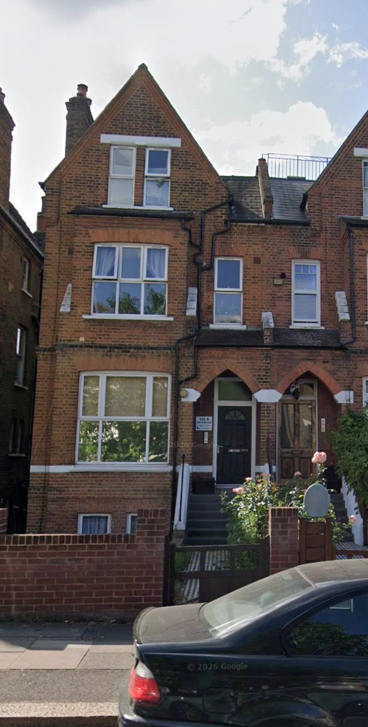
The 1911 return records Walter, Frances, Eric and George as visitors in the wider Hawes household. It establishes where they were on census night; it does not establish that this was their usual home. The photograph was supplied by the family as the modern view of this address.
Modern postcode-area marker (SE20 7TT); historic subdivision 125a not independently surveyed.
The 1921 household includes Walter, Nellie and their children as boarders with Charles S. Bradley. Eric is recorded at the same address in the 1939 Register. These are two dated snapshots, rather than proof of uninterrupted occupation by every family member.
Modern postcode-area marker (SE19 1NL); not an exact historic front-door coordinate.
Family records give The Rectory, Burgh Castle, as Sophia Louisa’s death address on 13 October 1884. Historic England lists an Old Rectory in Church Road, but identifying that building with this entry still needs documentary confirmation.
Not pinned: the link to today’s Old Rectory is a research lead, not yet established.
The copied family marriage abstract gives Sophia’s residence as 9 St James’s Street and William Henry’s as 7 Adelphi Terrace. The marriage year and exact historical property remain to be checked.
Approximate St James’s Street area; historical No. 9 not pinned.
Family recollection associates William Henry with 243 Strand. The documented 1852 surgery address is 406 Strand. These must not be assumed to be the same premises or the same period without supporting records.
Not pinned: date and precise association remain unresolved.
A parish entry, a census-night visit and a long-term home tell different stories. The labels on this page preserve those distinctions. A date is a dated piece of evidence, not necessarily the beginning or end of a tenancy.
Street names, numbering and buildings change. King William Street near Trafalgar Square is now William IV Street; the original Adelphi riverfront terrace was demolished. Approximate markers help locate the neighbourhood without presenting a modern building as a verified ancestral house.
Property pictures
The Adelphi painting shows the historic terrace, the St George’s photograph shows the church in 2006, and the Anerley and Craven Street pictures are modern views supplied by the family. Other properties will gain pictures as they can be identified. No reconstructed house images are presented as historical evidence.